
Monte Cavallara topographic map
Interactive map
Click on the map to display elevation.
About this map
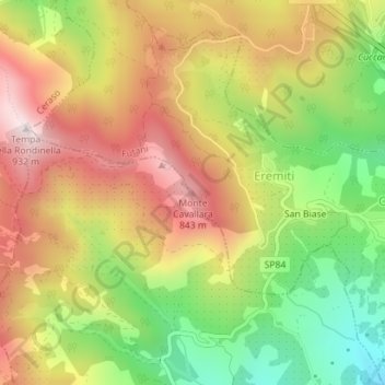
Name: Monte Cavallara topographic map, elevation, terrain.
Location: Monte Cavallara, Futani, Salerno, Campania, Italia (40.15131 15.28532 40.15141 15.28542)
Average elevation: 610 m
Minimum elevation: 286 m
Maximum elevation: 915 m