
Seruyan River topographic map
Interactive map
Click on the map to display elevation.
About this map
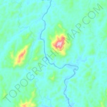
Name: Seruyan River topographic map, elevation, terrain.
Location: Seruyan River, Central Kalimantan, Indonesia (-1.48276 111.97017 -1.36573 112.01146)
Average elevation: 148 m
Minimum elevation: 62 m
Maximum elevation: 610 m
Other topographic maps
Click on a map to view its topography, its elevation and its terrain.
Tandjung Puting
Indonesia > Central Kalimantan
Tandjung Puting, Central Kalimantan, Indonesia
Average elevation: 1 m