
Ерна topographic map
Interactive map
Click on the map to display elevation.
About this map
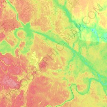
Name: Ерна topographic map, elevation, terrain.
Average elevation: 94 m
Minimum elevation: 55 m
Maximum elevation: 128 m
Other topographic maps
Click on a map to view its topography, its elevation and its terrain.
Шала
Russland > Oblast Archangelsk > Соянское сельское поселение
Шала, Соянское сельское поселение, Rajon Mesen, Oblast Archangelsk, Föderationskreis Nordwest, Russland
Average elevation: 37 m