
Rogers topographic map
Interactive map
Click on the map to display elevation.
About this map
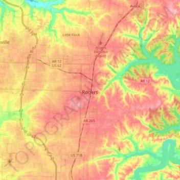
Name: Rogers topographic map, elevation, terrain.
Location: Rogers, Benton County, Arkansas, États-Unis d'Amérique (36.26279 -94.25074 36.40610 -94.08062)
Average elevation: 393 m
Minimum elevation: 326 m
Maximum elevation: 439 m