
Hanwatkhed topographic map
Interactive map
Click on the map to display elevation.
About this map
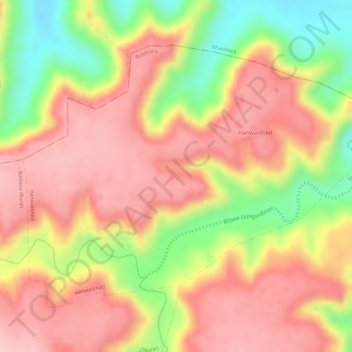
Name: Hanwatkhed topographic map, elevation, terrain.
Location: Hanwatkhed, Buldhana, Maharashtra, India (20.54670 76.20449 20.56710 76.23361)
Average elevation: 573 m
Minimum elevation: 461 m
Maximum elevation: 638 m
Other topographic maps
Click on a map to view its topography, its elevation and its terrain.
Warud
India > Maharashtra > Buldhana
Warud, Buldhana, Buldhana District, Maharashtra, India
Average elevation: 594 m