
Thank you for supporting this site ❤️
Make a donation
Make a donation
Someren-Eind topographic map
Click on the map to display elevation.
Thank you for supporting this site ❤️
Make a donation
Make a donation
About this map
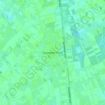
Name: Someren-Eind topographic map, elevation, terrain.
Location: Someren-Eind, Someren, Noord-Brabant, Nederland, 5712, Nederland (51.33716 5.71406 51.37716 5.75406)
Average elevation: 28 m
Minimum elevation: 24 m
Maximum elevation: 31 m
Thank you for supporting this site ❤️
Make a donation
Make a donation