
Whittier Park topographic map
Interactive map
Click on the map to display elevation.
About this map
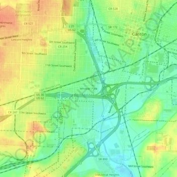
Name: Whittier Park topographic map, elevation, terrain.
Location: Whittier Park, Stark County, Ohio, 44701, USA (40.76617 -81.41011 40.80617 -81.37011)
Average elevation: 323 m
Minimum elevation: 303 m
Maximum elevation: 346 m