
Île de Saint-Martin - Sint Maarten eiland topographic map
Interactive map
Click on the map to display elevation.
About this map
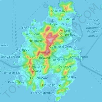
Name: Île de Saint-Martin - Sint Maarten eiland topographic map, elevation, terrain.
Average elevation: 31 m
Minimum elevation: -4 m
Maximum elevation: 412 m