
Hart County topographic map
Interactive map
Click on the map to display elevation.
About this map
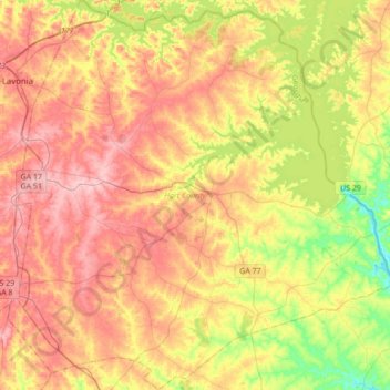
Name: Hart County topographic map, elevation, terrain.
Location: Hart County, Géorgie, États-Unis d'Amérique (34.21016 -83.11585 34.49376 -82.77406)
Average elevation: 225 m
Minimum elevation: 144 m
Maximum elevation: 296 m