
Levà topographic map
Interactive map
Click on the map to display elevation.
About this map
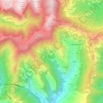
Name: Levà topographic map, elevation, terrain.
Location: Levà, Capreno, Sori, Gênes, Ligurie, 16031, Italie (44.38207 9.08973 44.42207 9.12973)
Average elevation: 464 m
Minimum elevation: 31 m
Maximum elevation: 897 m