
烟台山 topographic map
Interactive map
Click on the map to display elevation.
About this map
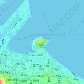
Name: 烟台山 topographic map, elevation, terrain.
Location: 烟台山, 烟台市, 山东省, 264000, 中国 (37.54775 121.39696 37.54785 121.39706)
Average elevation: 4 m
Minimum elevation: -2 m
Maximum elevation: 56 m
Other topographic maps
Click on a map to view its topography, its elevation and its terrain.