
格辉 topographic map
Interactive map
Click on the map to display elevation.
About this map
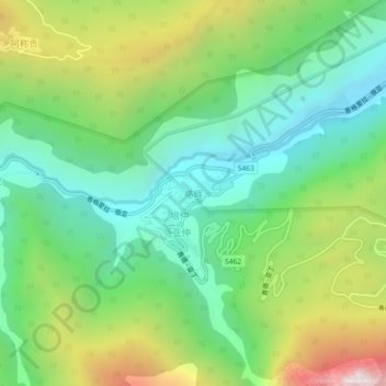
Name: 格辉 topographic map, elevation, terrain.
Location: 格辉, 稻城县, 甘孜藏族自治州, 四川省, 627700, 中国 (28.52620 100.29600 28.56620 100.33600)
Average elevation: 3,476 m
Minimum elevation: 2,958 m
Maximum elevation: 4,467 m
Other topographic maps
Click on a map to view its topography, its elevation and its terrain.