
Raversyde topographic map
Interactive map
Click on the map to display elevation.
About this map
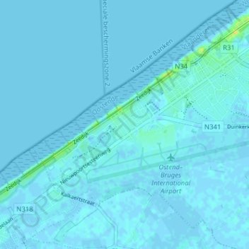
Name: Raversyde topographic map, elevation, terrain.
Location: Raversyde, Ostende, Flandre-Occidentale, Flandre, 8431, Belgique (51.18560 2.84235 51.22560 2.88235)
Average elevation: 1 m
Minimum elevation: -3 m
Maximum elevation: 21 m