
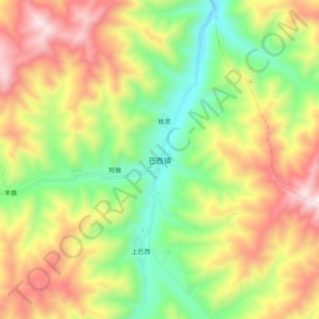
巴西镇 topographic map
Interactive map
Click on the map to display elevation.
About this map
Name: 巴西镇 topographic map, elevation, terrain.
Location: 巴西镇, 若尔盖县, 阿坝藏族羌族自治州, 四川省, 624500, 中国 (33.56697 103.19396 33.64697 103.27396)
Average elevation: 3,343 m
Minimum elevation: 2,868 m
Maximum elevation: 3,925 m
Other topographic maps
Click on a map to view its topography, its elevation and its terrain.