
Abou Kebir City topographic map
Interactive map
Click on the map to display elevation.
About this map
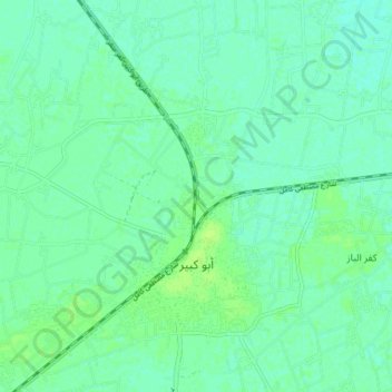
Name: Abou Kebir City topographic map, elevation, terrain.
Location: Abou Kebir City, Eastern, 44671, Egypt (30.70557 31.63148 30.76693 31.70715)
Average elevation: 7 m
Minimum elevation: 2 m
Maximum elevation: 12 m
Other topographic maps
Click on a map to view its topography, its elevation and its terrain.
Manshiyat al Sawamah
Manshiyat al Sawamah, Eastern, 44768, Egypt
Average elevation: 6 m
Abu Hammad al Mahattah
Abu Hammad al Mahattah, Eastern, 44661, Egypt
Average elevation: 9 m