
Kabogi topographic map
Interactive map
Click on the map to display elevation.
About this map
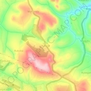
Name: Kabogi topographic map, elevation, terrain.
Location: Kabogi, Gitega, Burundi (-3.42069 29.90722 -3.38069 29.94722)
Average elevation: 1,638 m
Minimum elevation: 1,515 m
Maximum elevation: 1,758 m
Other topographic maps
Click on a map to view its topography, its elevation and its terrain.