
Huamantla topographic map
Interactive map
Click on the map to display elevation.
About this map
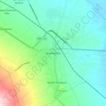
Name: Huamantla topographic map, elevation, terrain.
Location: Huamantla, Tlaxcala, 90500, México (19.27343 -97.96302 19.35343 -97.88302)
Average elevation: 2,519 m
Minimum elevation: 2,419 m
Maximum elevation: 2,835 m