
Thank you for supporting this site ❤️
Make a donation
Make a donation
Leegkerk topographic map
Click on the map to display elevation.
Thank you for supporting this site ❤️
Make a donation
Make a donation
About this map
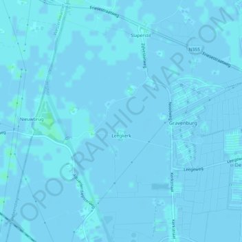
Name: Leegkerk topographic map, elevation, terrain.
Location: Leegkerk, West, Groningen, Nederland (53.21819 6.47669 53.24550 6.50014)
Average elevation: 0 m
Minimum elevation: -3 m
Maximum elevation: 4 m
Thank you for supporting this site ❤️
Make a donation
Make a donation
Other topographic maps
Click on a map to view its topography, its elevation and its terrain.