
Linum topographic map
Interactive map
Click on the map to display elevation.
About this map
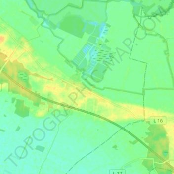
Name: Linum topographic map, elevation, terrain.
Average elevation: 35 m
Minimum elevation: 27 m
Maximum elevation: 49 m
Other topographic maps
Click on a map to view its topography, its elevation and its terrain.
Fehrbellin
Deutschland > Brandenburg > Fehrbellin > Fehrbellin
Fehrbellin, Ostprignitz-Ruppin, Brandenburg, 16833, Deutschland
Average elevation: 35 m
Wustrau-Altfriesack
Deutschland > Brandenburg > Fehrbellin
Wustrau-Altfriesack, Fehrbellin, Ostprignitz-Ruppin, Brandenburg, Deutschland
Average elevation: 37 m