
葭町 topographic map
Interactive map
Click on the map to display elevation.
About this map
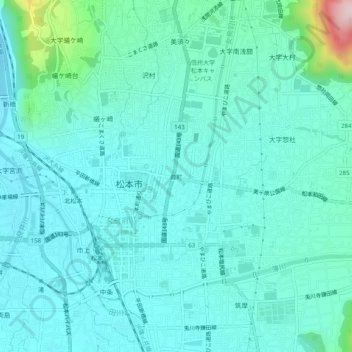
Name: 葭町 topographic map, elevation, terrain.
Location: 葭町, 松本市, 長野県, 390-0874, 日本 (36.21896 137.95533 36.25896 137.99533)
Average elevation: 616 m
Minimum elevation: 565 m
Maximum elevation: 897 m
Other topographic maps
Click on a map to view its topography, its elevation and its terrain.