
Kubaard topographic map
Interactive map
Click on the map to display elevation.
About this map
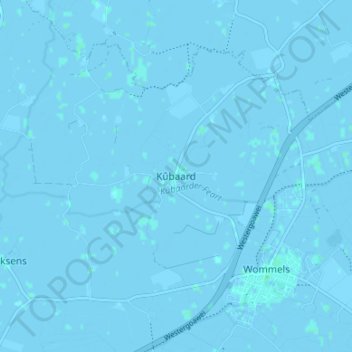
Name: Kubaard topographic map, elevation, terrain.
Location: Kubaard, Friesland, Nederland, 8732, Nederland (53.09965 5.55099 53.13965 5.59099)
Average elevation: 0 m
Minimum elevation: -3 m
Maximum elevation: 2 m