
Coyutla topographic map
Interactive map
Click on the map to display elevation.
About this map
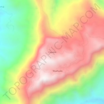
Name: Coyutla topographic map, elevation, terrain.
Location: Coyutla, Tepehuacán de Guerrero, Hidalgo, México (21.03667 -98.86722 21.07667 -98.82722)
Average elevation: 1,019 m
Minimum elevation: 386 m
Maximum elevation: 1,549 m