
Labuerda topographic map
Interactive map
Click on the map to display elevation.
About this map
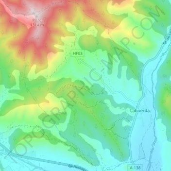
Name: Labuerda topographic map, elevation, terrain.
Location: Labuerda, Sobrarbe, Huesca, Aragón, España (42.43088 0.08501 42.48504 0.14175)
Average elevation: 710 m
Minimum elevation: 538 m
Maximum elevation: 1,180 m