
Thank you for supporting this site ❤️
Make a donation
Make a donation
Schuir topographic map
Click on the map to display elevation.
Thank you for supporting this site ❤️
Make a donation
Make a donation
About this map
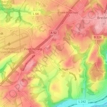
Name: Schuir topographic map, elevation, terrain.
Location: Schuir, Stadtbezirk IX, Essen, North Rhine-Westphalia, Germany (51.37986 6.94300 51.41874 6.98315)
Average elevation: 121 m
Minimum elevation: 42 m
Maximum elevation: 171 m
Thank you for supporting this site ❤️
Make a donation
Make a donation