
Barro topographic map
Interactive map
Click on the map to display elevation.
About this map
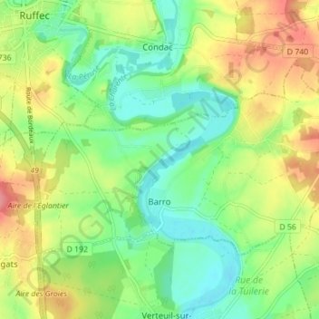
Name: Barro topographic map, elevation, terrain.
Average elevation: 107 m
Minimum elevation: 74 m
Maximum elevation: 154 m
Other topographic maps
Click on a map to view its topography, its elevation and its terrain.
Angoulême
França > Nouvelle-Aquitaine > Charente
Angoulême, Charente, Nouvelle-Aquitaine, França metropolitana, 16000, França
Average elevation: 72 m