
Étang de Bethmale topographic map
Interactive map
Click on the map to display elevation.
About this map
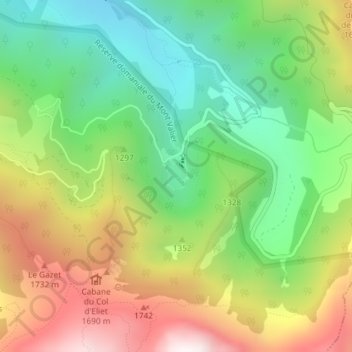
Name: Étang de Bethmale topographic map, elevation, terrain.
Average elevation: 1,307 m
Minimum elevation: 819 m
Maximum elevation: 1,995 m
Other topographic maps
Click on a map to view its topography, its elevation and its terrain.
Les Lauzets
France > Occitanie > Ariège > Bethmale
Les Lauzets, Bethmale, Saint-Girons, Ariège, Occitanie, France métropolitaine, 09800, France
Average elevation: 2,191 m