
Wellesley topographic map
Interactive map
Click on the map to display elevation.
About this map
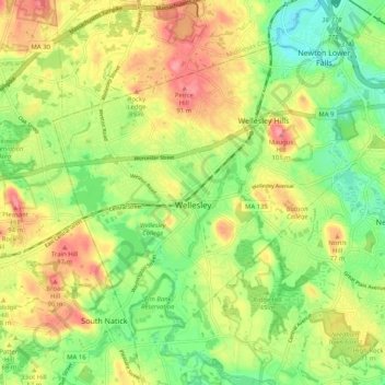
Name: Wellesley topographic map, elevation, terrain.
Location: Wellesley, Norfolk County, Massachusetts, United States (42.26961 -71.32975 42.32809 -71.22753)
Average elevation: 52 m
Minimum elevation: 10 m
Maximum elevation: 99 m