
Thank you for supporting this site ❤️
Make a donation
Make a donation
Kanjimana topographic map
Click on the map to display elevation.
Thank you for supporting this site ❤️
Make a donation
Make a donation
About this map
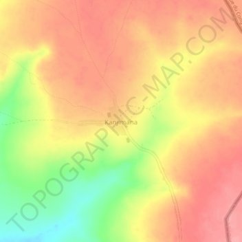
Name: Kanjimana topographic map, elevation, terrain.
Location: Kanjimana, Ikelenge District, North-Western Province, Zambia (-10.95032 24.08155 -10.91032 24.12155)
Average elevation: 1,279 m
Minimum elevation: 1,216 m
Maximum elevation: 1,315 m
Thank you for supporting this site ❤️
Make a donation
Make a donation