
Stenbro topographic map
Interactive map
Click on the map to display elevation.
About this map
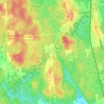
Name: Stenbro topographic map, elevation, terrain.
Location: Stenbro, Växjö kommun, Kronoberg County, Sweden (57.13384 14.53799 57.17384 14.57799)
Average elevation: 220 m
Minimum elevation: 189 m
Maximum elevation: 252 m