
惠东县 topographic map
Interactive map
Click on the map to display elevation.
About this map
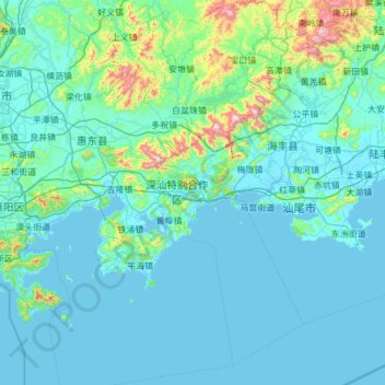
Name: 惠东县 topographic map, elevation, terrain.
Location: 惠东县, 惠州市, 广东省, 中国 (22.26686 114.55395 23.38821 115.42155)
Average elevation: 99 m
Minimum elevation: -2 m
Maximum elevation: 1,198 m
Other topographic maps
Click on a map to view its topography, its elevation and its terrain.