
Butler County topographic map
Interactive map
Click on the map to display elevation.
About this map
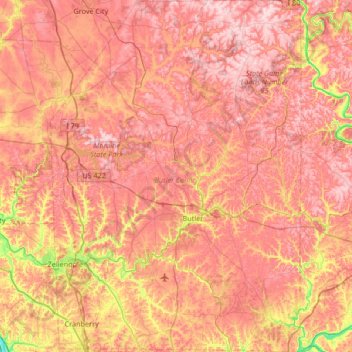
Name: Butler County topographic map, elevation, terrain.
Location: Butler County, Pennsylvanie, États-Unis d'Amérique (40.66905 -80.16529 41.17312 -79.69009)
Average elevation: 376 m
Minimum elevation: 205 m
Maximum elevation: 485 m