
Rohda (Haarberg) topographic map
Interactive map
Click on the map to display elevation.
About this map
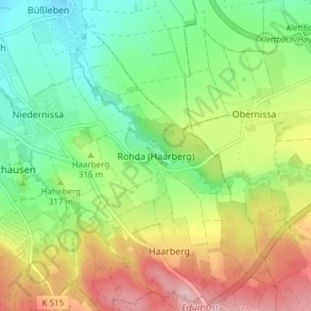
Name: Rohda (Haarberg) topographic map, elevation, terrain.
Location: Rohda (Haarberg), Erfurt, Thüringen, 99102, Deutschland (50.92609 11.10856 50.96609 11.14856)
Average elevation: 314 m
Minimum elevation: 233 m
Maximum elevation: 435 m