
Fiume Irminio topographic map
Interactive map
Click on the map to display elevation.
About this map
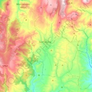
Name: Fiume Irminio topographic map, elevation, terrain.
Location: Fiume Irminio, Ragusa, Sicilia, 97010, Italia (36.97182 14.77546 36.97222 14.77572)
Average elevation: 428 m
Minimum elevation: 328 m
Maximum elevation: 576 m