
Piravante topographic map
Interactive map
Click on the map to display elevation.
About this map
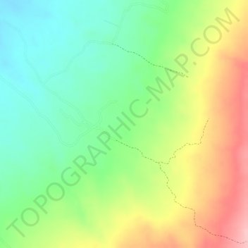
Name: Piravante topographic map, elevation, terrain.
Location: Piravante, Campoalegre, Norte, Huila, Colombia (2.71022 -75.30739 2.73022 -75.28739)
Average elevation: 569 m
Minimum elevation: 496 m
Maximum elevation: 663 m
Other topographic maps
Click on a map to view its topography, its elevation and its terrain.