
Yanga topographic map
Interactive map
Click on the map to display elevation.
About this map
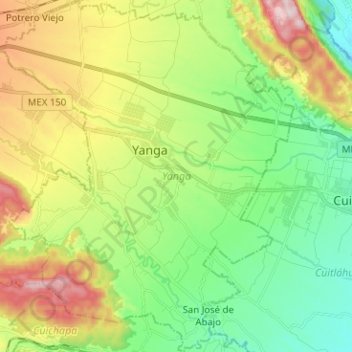
Name: Yanga topographic map, elevation, terrain.
Location: Yanga, Veracruz, México (18.76286 -96.85531 18.88222 -96.74759)
Average elevation: 493 m
Minimum elevation: 316 m
Maximum elevation: 805 m