
Oneonta topographic map
Interactive map
Click on the map to display elevation.
About this map
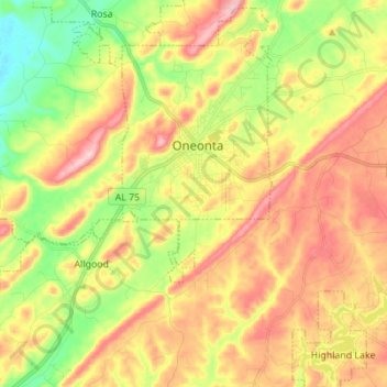
Name: Oneonta topographic map, elevation, terrain.
Location: Oneonta, Blount County, Alabama, 35121, United States (33.87739 -86.58309 33.98770 -86.44509)
Average elevation: 278 m
Minimum elevation: 160 m
Maximum elevation: 402 m