
Toppel topographic map
Interactive map
Click on the map to display elevation.
About this map
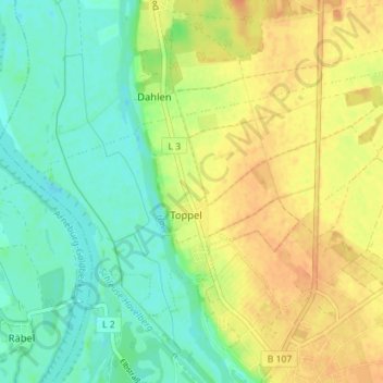
Name: Toppel topographic map, elevation, terrain.
Location: Toppel, Havelberg, Stendal, Sachsen-Anhalt, Deutschland (52.83593 12.03224 52.86364 12.10299)
Average elevation: 37 m
Minimum elevation: 21 m
Maximum elevation: 54 m