
Thank you for supporting this site ❤️
Make a donation
Make a donation
Plankamon topographic map
Click on the map to display elevation.
Thank you for supporting this site ❤️
Make a donation
Make a donation
About this map
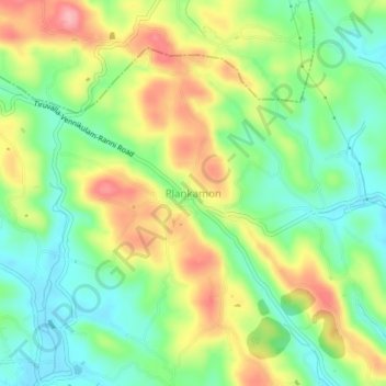
Name: Plankamon topographic map, elevation, terrain.
Location: Plankamon, Ranni, Pathanamthitta District, Kerala, 689612, India (9.36141 76.72549 9.40141 76.76549)
Average elevation: 63 m
Minimum elevation: 10 m
Maximum elevation: 137 m
Thank you for supporting this site ❤️
Make a donation
Make a donation
Other topographic maps
Click on a map to view its topography, its elevation and its terrain.