
格达村 topographic map
Interactive map
Click on the map to display elevation.
About this map
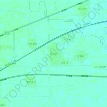
Name: 格达村 topographic map, elevation, terrain.
Location: 格达村, 廊坊市, 河北省, 中国 (39.12041 116.75231 39.16041 116.79231)
Average elevation: 7 m
Minimum elevation: 4 m
Maximum elevation: 10 m
Other topographic maps
Click on a map to view its topography, its elevation and its terrain.