
Kitwe topographic map
Click on the map to display elevation.
About this map
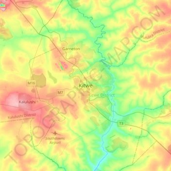
Name: Kitwe topographic map, elevation, terrain.
Location: Kitwe, Kitwe District, Copperbelt Province, 1001, Zambia (-12.98037 28.05560 -12.66037 28.37560)
Average elevation: 1,233 m
Minimum elevation: 1,152 m
Maximum elevation: 1,330 m