
Shamrock topographic map
Interactive map
Click on the map to display elevation.
About this map
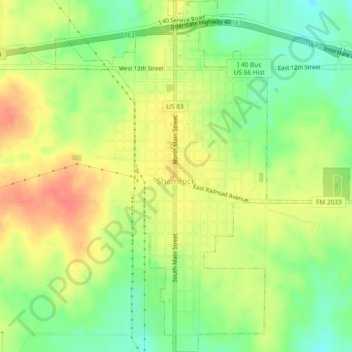
Name: Shamrock topographic map, elevation, terrain.
Location: Shamrock, Wheeler County, Texas, USA (35.19501 -100.26510 35.23387 -100.22585)
Average elevation: 703 m
Minimum elevation: 675 m
Maximum elevation: 731 m