
Morés topographic map
Interactive map
Click on the map to display elevation.
About this map
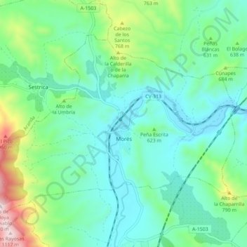
Name: Morés topographic map, elevation, terrain.
Location: Morés, Comunidad de Calatayud, Zaragoza, Aragón, España (41.45427 -1.61244 41.50073 -1.52640)
Average elevation: 579 m
Minimum elevation: 414 m
Maximum elevation: 1,129 m