Geolocate

Changa topographic map

Interactive map

Click on the map to display elevation.

About this map

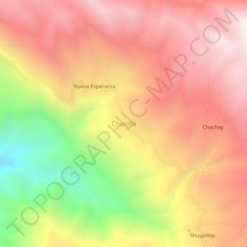
Name: Changa topographic map, elevation, terrain.

Location: Changa, Parobamba, Province of Pomabamba, Ancash, Peru (-8.60880 -77.40328 -8.56880 -77.36328)

Average elevation: 3,402 m

Minimum elevation: 2,600 m

Maximum elevation: 3,935 m

Other topographic maps

Click on a map to view its topography, its elevation and its terrain.

Laguna Palococha

Peru > Ancash > Ticapampa

Average elevation: 3,765 m

Bolognesi

Peru > Ancash > Bolognesi

Average elevation: 2,606 m

Huaylas

Peru > Ancash > Huaylas

The district is located in the north-western part of the province at an elevation of 2,721m. The village of Huaylas is located 45 km from the city of Caraz.

Average elevation: 3,145 m

Cochabamba

Peru > Ancash

Average elevation: 2,965 m