
黄陵街道 topographic map
Interactive map
Click on the map to display elevation.
About this map
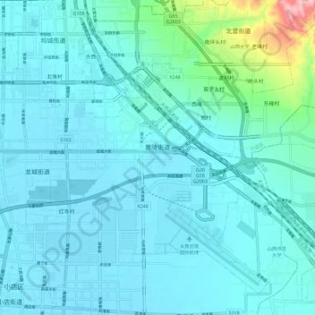
Name: 黄陵街道 topographic map, elevation, terrain.
Location: 黄陵街道, 小店区, 太原市, 山西省, 中国 (37.73314 112.56294 37.81051 112.67595)
Average elevation: 798 m
Minimum elevation: 771 m
Maximum elevation: 1,011 m
Other topographic maps
Click on a map to view its topography, its elevation and its terrain.