
Springton topographic map
Interactive map
Click on the map to display elevation.
About this map
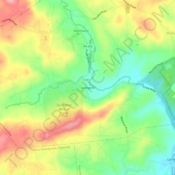
Name: Springton topographic map, elevation, terrain.
Location: Springton, Chester County, Pennsylvania, 19343, USA (40.05594 -75.78994 40.09594 -75.74994)
Average elevation: 160 m
Minimum elevation: 100 m
Maximum elevation: 230 m