
白石镇 topographic map
Interactive map
Click on the map to display elevation.
About this map
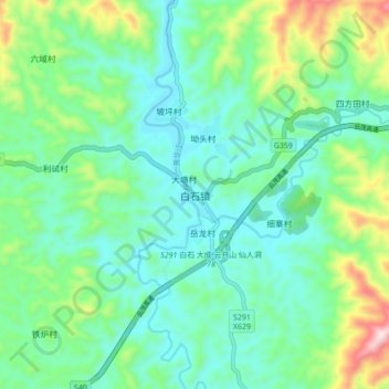
Name: 白石镇 topographic map, elevation, terrain.
Location: 白石镇, 茂名市, 广东省, 中国 (22.31992 111.04769 22.39992 111.12769)
Average elevation: 400 m
Minimum elevation: 270 m
Maximum elevation: 789 m
Other topographic maps
Click on a map to view its topography, its elevation and its terrain.