
Mang'ola topographic map
Interactive map
Click on the map to display elevation.
About this map
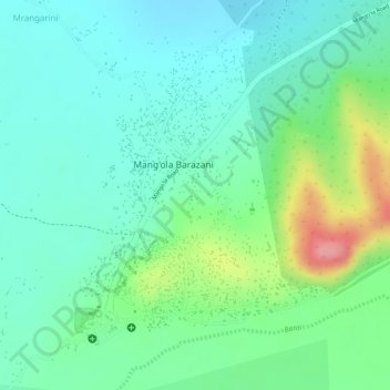
Name: Mang'ola topographic map, elevation, terrain.
Location: Mang'ola, Karatu, Arusha, Northern Zone, Tanzanie (-3.53087 35.32950 -3.50771 35.34880)
Average elevation: 1,065 m
Minimum elevation: 1,030 m
Maximum elevation: 1,147 m