
Nevele topographic map
Interactive map
Click on the map to display elevation.
About this map
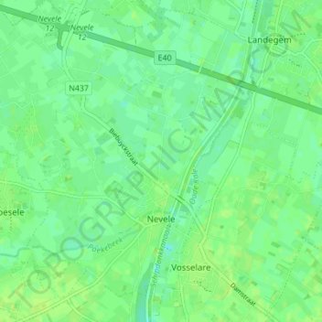
Name: Nevele topographic map, elevation, terrain.
Location: Nevele, Deinze, Gand, Flandre orientale, Belgique (51.01914 3.50380 51.06247 3.57010)
Average elevation: 8 m
Minimum elevation: 2 m
Maximum elevation: 13 m
Other topographic maps
Click on a map to view its topography, its elevation and its terrain.
Kasteel van Ooidonk
Belgique > Flandre orientale > Gand > Deinze > Bachte-Maria-Leerne
Kasteel van Ooidonk, Graaf Henridreef, Sint-Maria-Leerne, Bachte-Maria-Leerne, Deinze, Gand, Flandre orientale, Flandre, 9800, Belgique
Average elevation: 8 m