
普茶寨 topographic map
Interactive map
Click on the map to display elevation.
About this map
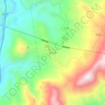
Name: 普茶寨 topographic map, elevation, terrain.
Location: 普茶寨, 玉溪市, 云南省, 中国 (24.12657 102.96331 24.16657 103.00331)
Average elevation: 1,868 m
Minimum elevation: 1,559 m
Maximum elevation: 2,315 m
Other topographic maps
Click on a map to view its topography, its elevation and its terrain.