
金湾区 topographic map
Interactive map
Click on the map to display elevation.
About this map
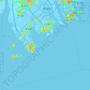
Name: 金湾区 topographic map, elevation, terrain.
Location: 金湾区, 珠海市, 广东省, 中国 (21.66062 113.05819 22.20035 113.58009)
Average elevation: 6 m
Minimum elevation: -5 m
Maximum elevation: 431 m
Other topographic maps
Click on a map to view its topography, its elevation and its terrain.